Who are radio signals that nobody decodes intended for?
Back-and-forth was originally made as a site-specific installation for Vlieland, an island in the Netherlands. The artist discovered that strong electromagnetic signals passed through the island at irregular intervals yet according to an exact timetable. He later realised that the signals were radio waves transmitted by the German Meteorological Centre (Deutscher Wetterdienst), sharing the data of marine weather maps (Weatherfaxes or WEFAXes). The forecasts focusing on different areas and data have been transmitted by the centre in Hamburg since the 1940s. This technology, however, had become entirely obsolete, partly because ships no longer have the fax-like printer that can receive and decode these radio signals, and partly because these same data are accessible online.
The installation pays tribute to Nicolaas Kruik (1678–1754), a Dutch cartographer and meteorologist, born in West Vlieland. Kruik was the first to graphically represent weather data and to introduce those symbols that are considered as the forerunners of those used in today’s weather maps.
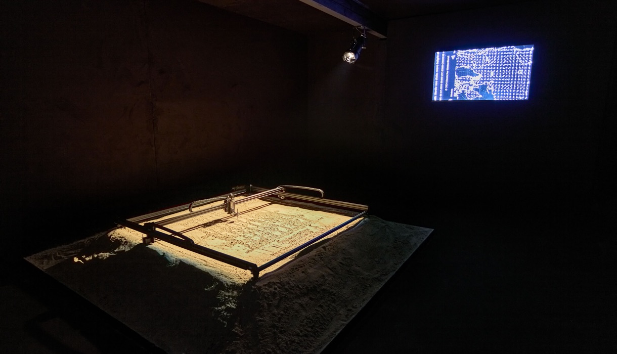
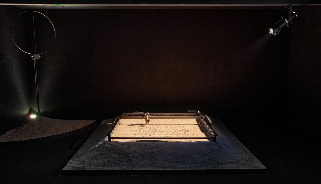
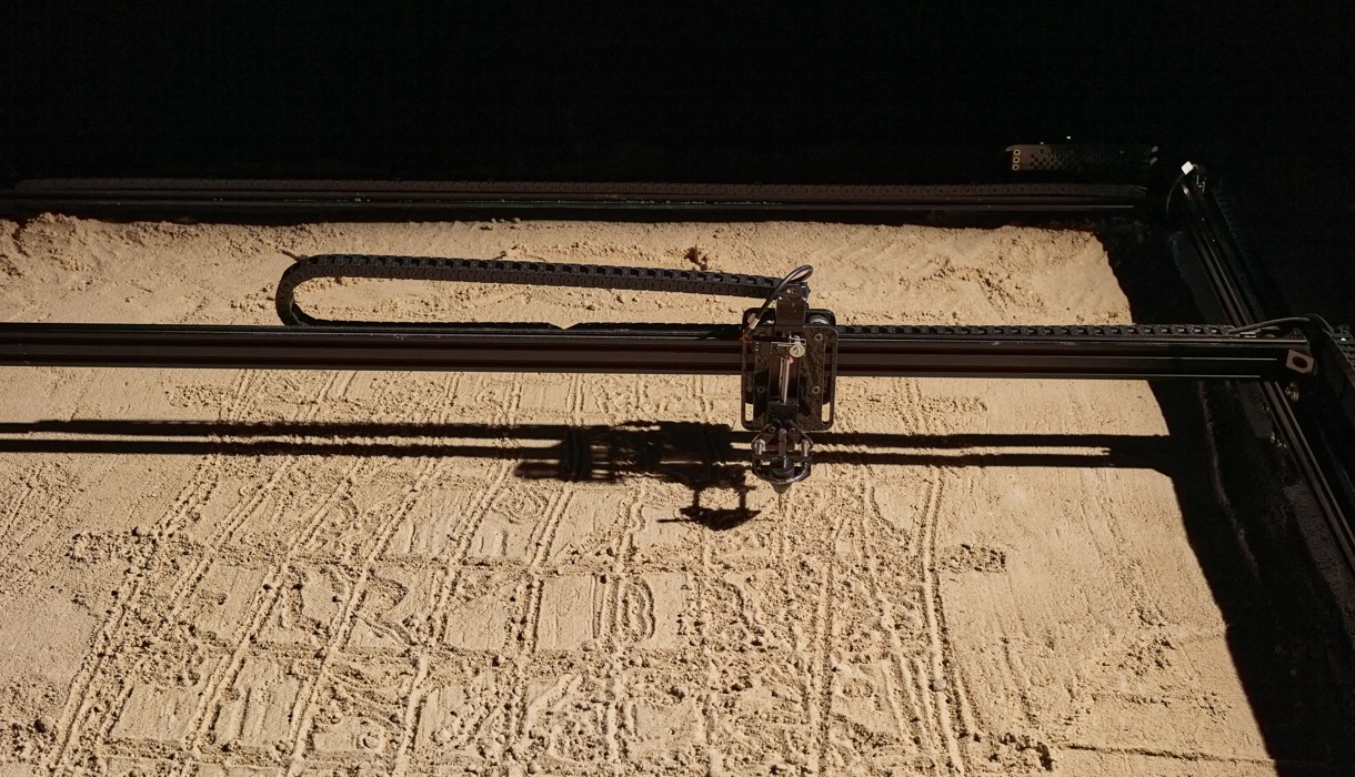
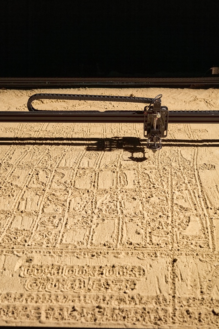
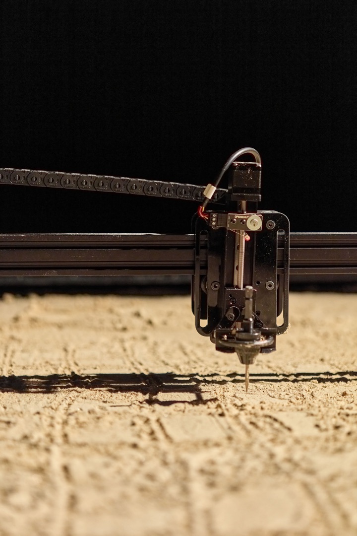
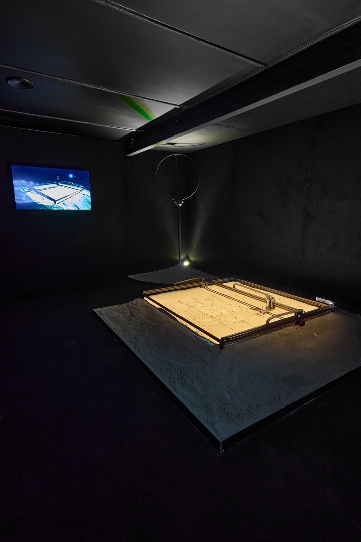
The original installation drew the forecasts received as radio waves into the island’s sand, which, depending on the momentary weather conditions, were blown away by the wind, washed away by rain or overwritten by the next incoming map. The Budapest version of Back-and-forth draws the meteorological map of the surface temperature of the North Sea for the next week, which takes twelve hours.
Sébastien Robert’s work is a transient archive of meteorological maps transmitted as radio signals. It forecasts the future changes in weather, while, paradoxically, making exact forecasts impossible due to the slow and volatile nature of the process.
Borbála Szalai